Geolocate

Garner topographic map

Click on the map to display elevation.

About this map

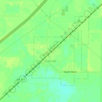
Name: Garner topographic map, elevation, terrain.

Location: Garner, White County, Arkansas, 72143, United States (35.13401 -91.79123 35.15229 -91.77179)

Average elevation: 223 ft

Minimum elevation: 194 ft

Maximum elevation: 233 ft

White County trails, hiking, mountain biking, running and outdoor activities

Other topographic maps

Click on a map to view its topography, its elevation and its terrain.

Doniphan

United States > Arkansas > White County

Average elevation: 226 ft

Gear up for your next adventure:

🛡️Bear Spray Outdoor - Protection in bear country hikes
🏫Relief Map Kits - Hands-on tools for teaching landforms and elevation
🧭GPS Watch Accessories - Bands and chargers for GPS watches
🎒Trail Energy Bars - High‑calorie bars for hiking energy
🧣Hiking Neck Gaiter - Multi‑use neck protection for outdoor weather

As an Amazon Associate, this site earns from qualifying purchases at no extra cost to you.