Geolocate

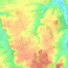
Laichingen topographic map

Click on the map to display elevation.

About this map
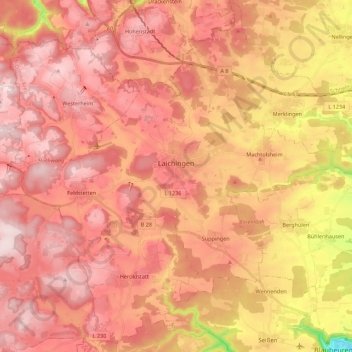
Name: Laichingen topographic map, elevation, terrain.

Location: Laichingen, GVV Laichinger Alb, Alb-Donau-Kreis, Baden-Württemberg, 89150, Germany (48.43228 9.58183 48.53601 9.80207)

Average elevation: 2,451 ft

Minimum elevation: 1,660 ft

Maximum elevation: 2,841 ft

Other topographic maps

Click on a map to view its topography, its elevation and its terrain.

Ammerstetten

Germany > Baden-Württemberg > Alb-Donau-Kreis

Average elevation: 1,742 ft

Gerhausen

Germany > Baden-Württemberg > Alb-Donau-Kreis > Blaubeuren

Average elevation: 2,001 ft

Auen

Germany > Baden-Württemberg > Alb-Donau-Kreis > Schelklingen

Average elevation: 1,946 ft

Gear up for your next adventure:

🪶Thermal Camp Blanket - Extra warmth for cold nights
🪑Ultralight Camp Chairs - Portable seating for resting after a long day of mapping
🛶Inflatable Kayak - Portable kayak for rivers, lakes, and expeditions
🌧️Backpack Rain Cover - Keep gear dry in wet weather
📖Nature Tracking Books - Learn to track wildlife and terrain

As an Amazon Associate, this site earns from qualifying purchases at no extra cost to you.