Geolocate

Penouta topographic map

Click on the map to display elevation.

About this map
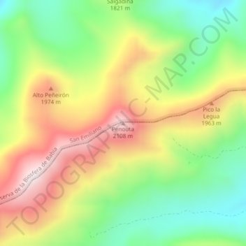
Name: Penouta topographic map, elevation, terrain.

Location: Penouta, Sena de Luna, León, Castile and León, Spain (42.90634 -6.06143 42.90644 -6.06133)

Average elevation: 5,876 ft

Minimum elevation: 4,987 ft

Maximum elevation: 6,952 ft

Gear up for your next adventure:

🧼Biodegradable Camping Soap - Eco‑friendly soap for outdoor hygiene
🥾Men's Hiking Boots - Durable, waterproof footwear for rugged terrain and steep inclines
🎒Waterproof Dry Bags - Keep your electronics and maps dry inside your pack
📦Dry Bags Set - Waterproof storage for electronics and clothes
🛡️Insect Repellent - Protection against bugs during outdoor activities

As an Amazon Associate, this site earns from qualifying purchases at no extra cost to you.