Geolocate

Bilga topographic map

Click on the map to display elevation.

About this map

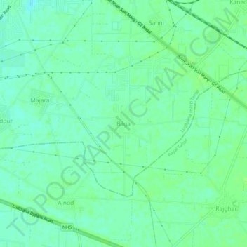
Name: Bilga topographic map, elevation, terrain.

Location: Bilga, Ludhiana (East) Tahsil, Ludhiana, Punjab, 141120, India (30.79074 75.96465 30.83074 76.00465)

Average elevation: 846 ft

Minimum elevation: 830 ft

Maximum elevation: 860 ft

Gear up for your next adventure:

🪶Compact Camp Shovel - Folding shovel for campsite tasks
🪶Camping Sleeping Pad - Comfortable sleeping pad for backpacking
🗻Climbing Gear Basics - Essential gear for beginner climbers
🏔️Mountain Trail Maps - High‑detail maps for popular peaks
🔭Compact Binoculars - HD vision for scouting terrain and identifying distant landmarks

As an Amazon Associate, this site earns from qualifying purchases at no extra cost to you.