Geolocate

United topographic map

Click on the map to display elevation.

About this map
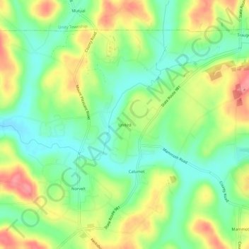
Name: United topographic map, elevation, terrain.

Location: United, Mount Pleasant Township, Westmoreland County, Pennsylvania, 15689, United States (40.19840 -79.50782 40.23840 -79.46782)

Average elevation: 1,070 ft

Minimum elevation: 951 ft

Maximum elevation: 1,230 ft

Westmoreland County trails, hiking, mountain biking, running and outdoor activities

Gear up for your next adventure:

🪶Multi‑Purpose Knife - Useful blade for camp and trail
🪶Survival Guide Book - Expert advice for emergency preparedness
🔊Portable Camp Speaker - Music and alerts at camp
📚Navigation Handbooks - Master the art of reading topographic maps and using a compass
⛺Backpacking Tent - Lightweight and durable tent for multi‑day hikes

As an Amazon Associate, this site earns from qualifying purchases at no extra cost to you.