Geolocate

Rancitelli topographic map

Click on the map to display elevation.

About this map

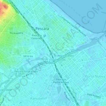
Name: Rancitelli topographic map, elevation, terrain.

Location: Rancitelli, Pescara, Abruzzo, Italia (42.46326 14.20942 42.46352 14.20978)

Average elevation: 23 ft

Minimum elevation: -10 ft

Maximum elevation: 184 ft

Gear up for your next adventure:

🧦Merino Wool Socks - Moisture-wicking, blister-preventing socks for long treks
🧢Sun Protection Hats - Wide-brimmed and UPF-rated hats for high-altitude sun safety
🪶LED Camping Lantern - Bright lantern for camp lighting
🕶️Glacier Sunglasses - Side shields to protect eyes from high-altitude snow glare
🧭Map Reading Tools - Tools and kits for map navigation

As an Amazon Associate, this site earns from qualifying purchases at no extra cost to you.