
Fraccionamiento Las Golondrinas topographic map
Interactive map
Click on the map to display elevation.
About this map
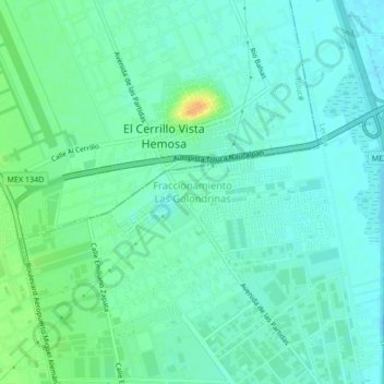
Name: Fraccionamiento Las Golondrinas topographic map, elevation, terrain.
Average elevation: 8,451 ft
Minimum elevation: 8,422 ft
Maximum elevation: 8,527 ft
Other topographic maps
Click on a map to view its topography, its elevation and its terrain.
Lerma de Villada
Mexique > État de Mexico > Lerma
Lerma de Villada, Lerma, État de Mexico, 52006, Mexique
Average elevation: 8,455 ft