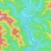
Pingguo City topographic map
Click on the map to display elevation.
About this map

Name: Pingguo City topographic map, elevation, terrain.
Location: Pingguo City, Baise, Guangxi, 531400, China (23.20669 107.29671 23.89675 107.88300)
Average elevation: 1,155 ft
Minimum elevation: 253 ft
Maximum elevation: 3,199 ft
Other topographic maps
Click on a map to view its topography, its elevation and its terrain.