Geolocate

Comuna 13 topographic map

Click on the map to display elevation.

About this map

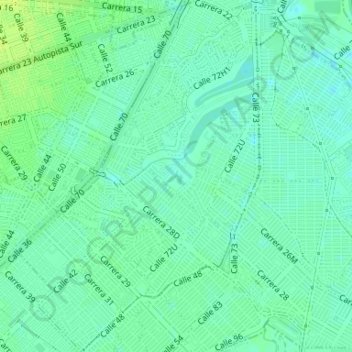
Name: Comuna 13 topographic map, elevation, terrain.

Location: Comuna 13, Cali, Sur, Valle del Cauca, RAP Pacífico, Colombia (3.41146 -76.50653 3.44434 -76.48380)

Average elevation: 3,117 ft

Minimum elevation: 3,097 ft

Maximum elevation: 3,146 ft

Gear up for your next adventure:

🧷Carabiner Set - Durable clips for gear attachment
🧤Tactile Hiking Gloves - Keep hands warm while operating GPS and smartphone screens
🥇GPS Hiking Watch - Multi‑sport GPS watch with navigation and trail tracking
🧯Portable Fire Pit - Compact fire pit for camping spots
🧭Pro Hiking Compasses - High-accuracy liquid-filled compasses for topographic orientation

As an Amazon Associate, this site earns from qualifying purchases at no extra cost to you.