
New Pass topographic map
Click on the map to display elevation.
About this map
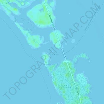
Name: New Pass topographic map, elevation, terrain.
Average elevation: 3 ft
Minimum elevation: -3 ft
Maximum elevation: 33 ft
Lee County trails, hiking, mountain biking, running and outdoor activities
Other topographic maps
Click on a map to view its topography, its elevation and its terrain.
Bonita National Golf & Country Club
United States > Florida > Lee County > Bonita Springs
Average elevation: 16 ft
Spring Creek Village
United States > Florida > Lee County > Bonita Springs > Pelican Landing
Average elevation: 13 ft
Highland Woods Golf & Country Club
United States > Florida > Lee County > Bonita Springs
Average elevation: 16 ft
Carmel at Vanderbilt Lakes
United States > Florida > Lee County > Bonita Springs
Average elevation: 16 ft
Worthington Country Club
United States > Florida > Lee County > Bonita Springs
Average elevation: 20 ft