Geolocate

Redford topographic map

Click on the map to display elevation.

About this map
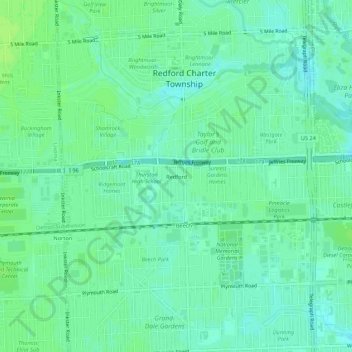
Name: Redford topographic map, elevation, terrain.

Location: Redford, Redford Township, Wayne County, Michigan, 48239, United States (42.36337 -83.31660 42.40337 -83.27660)

Average elevation: 633 ft

Minimum elevation: 614 ft

Maximum elevation: 646 ft

Wayne County trails, hiking, mountain biking, running and outdoor activities

Gear up for your next adventure:

🚁Photography Drones - Capture stunning aerial views of landforms and topography
🌡️Portable Weather Meter - Track weather conditions on the trail
🧤Tactile Hiking Gloves - Keep hands warm while operating GPS and smartphone screens
🪶Compact Camp Shovel - Folding shovel for campsite tasks
🛡️Bear Spray Outdoor - Protection in bear country hikes

As an Amazon Associate, this site earns from qualifying purchases at no extra cost to you.