
Make a donation
Gear up for your next adventure:
As an Amazon Associate, this site earns from qualifying purchases at no extra cost to you.
Hickman topographic map
Click on the map to display elevation.
Make a donation
Gear up for your next adventure:
As an Amazon Associate, this site earns from qualifying purchases at no extra cost to you.
About this map
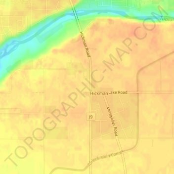
Name: Hickman topographic map, elevation, terrain.
Location: Hickman, Stanislaus County, California, United States (37.61282 -120.76455 37.63620 -120.74162)
Average elevation: 164 ft
Minimum elevation: 72 ft
Maximum elevation: 190 ft
Stanislaus County trails, hiking, mountain biking, running and outdoor activities
Make a donation
Gear up for your next adventure:
As an Amazon Associate, this site earns from qualifying purchases at no extra cost to you.
Other topographic maps
Click on a map to view its topography, its elevation and its terrain.
San Joaquin River National Wildlife Refuge
United States > California > Stanislaus County
Average elevation: 46 ft
Make a donation
Gear up for your next adventure:
As an Amazon Associate, this site earns from qualifying purchases at no extra cost to you.