
Nawur topographic map
Interactive map
Click on the map to display elevation.
About this map
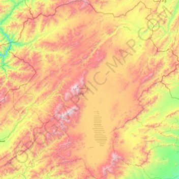
Name: Nawur topographic map, elevation, terrain.
Location: Nawur, Ghazni Province, Afghanistan (33.32697 67.24884 34.21913 68.28092)
Average elevation: 10,407 ft
Minimum elevation: 6,808 ft
Maximum elevation: 15,436 ft
Other topographic maps
Click on a map to view its topography, its elevation and its terrain.
Qadi
Afghanistan > Ghazni Province > Jaghori > Sangi masha
Qadi, Sangi masha, Jaghori, Ghazni Province, Afghanistan
Average elevation: 8,028 ft