Geolocate

Cumrew topographic map

Click on the map to display elevation.

About this map

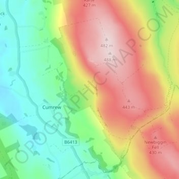
Name: Cumrew topographic map, elevation, terrain.

Location: Cumrew, Carlisle, Cumbria, England, United Kingdom (54.83357 -2.72513 54.87402 -2.65533)

Average elevation: 948 ft

Minimum elevation: 456 ft

Maximum elevation: 1,578 ft

Other topographic maps

Click on a map to view its topography, its elevation and its terrain.

Burgh by Sands

United Kingdom > England > Cumbria > Carlisle

Average elevation: 52 ft

Cold Fell

United Kingdom > England > Cumbria > Carlisle

Average elevation: 1,696 ft

River Eden

United Kingdom > England > Cumbria > Carlisle > Great Corby

Average elevation: 171 ft

Laversdale

United Kingdom > England > Cumbria > Carlisle > Laversdale

Average elevation: 151 ft

Trundley Wood

United Kingdom > England > Cumbria > Carlisle > Hethersgill

Average elevation: 167 ft

Carwinley

United Kingdom > England > Cumbria > Carlisle

Average elevation: 187 ft

Gear up for your next adventure:

🧯Portable Fire Pit - Compact fire pit for camping spots
🥩Freeze-Dried Meals - Nutritious and lightweight food for remote expeditions
🔭Stargazing Telescopes - Perfect for camping in low-light pollution areas shown on maps
🎒Trail Energy Bars - High‑calorie bars for hiking energy
🪶Camping Sleeping Pad - Comfortable sleeping pad for backpacking

As an Amazon Associate, this site earns from qualifying purchases at no extra cost to you.