
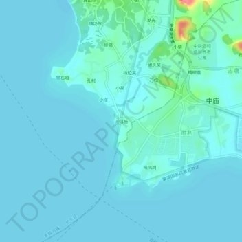
河口杨 topographic map
Interactive map
Click on the map to display elevation.
About this map
Name: 河口杨 topographic map, elevation, terrain.
Location: 河口杨, 肥东县, 合肥市, 安徽省, 231600, 中国 (31.57564 117.44250 31.61564 117.48250)
Average elevation: 39 ft
Minimum elevation: 13 ft
Maximum elevation: 249 ft
Other topographic maps
Click on a map to view its topography, its elevation and its terrain.