
浮槎山省级森林公园 topographic map
Interactive map
Click on the map to display elevation.
About this map
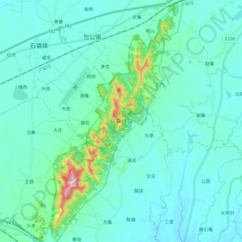
Name: 浮槎山省级森林公园 topographic map, elevation, terrain.
Location: 浮槎山省级森林公园, 包公镇, 肥东县, 合肥市, 安徽省, 231600, 中国 (31.81156 117.63979 31.96495 117.73958)
Average elevation: 210 ft
Minimum elevation: 49 ft
Maximum elevation: 1,348 ft
Other topographic maps
Click on a map to view its topography, its elevation and its terrain.