
Rudolfstein topographic map
Click on the map to display elevation.
Rudolfstein
Der Rudolfstein ist ein bewaldeter Berg im nordöstlichen Schneebergmassiv des Fichtelgebirges, südlich von Bad Weißenstadt. Er liegt am Höhenweg auf 866 m ü. NHN. Im Gipfelbereich gibt es mehrere durch Wollsackverwitterung geschichtete Felsformationen aus Zinngranit, die ein geschütztes Naturdenkmal bilden. Auf den höchsten Felsturm führt seit 1890 eine Treppe. Eingebettet in die Felsformation stand dort eine kleine Burg (Burgstall Rudolfstein), die fast spurlos verschwunden ist.
About this map
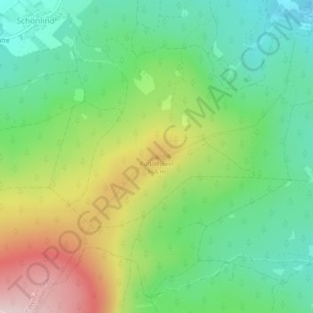
Name: Rudolfstein topographic map, elevation, terrain.
Average elevation: 2,428 ft
Minimum elevation: 2,031 ft
Maximum elevation: 3,114 ft