Geolocate

Sumqayit topographic map

Click on the map to display elevation.

About this map

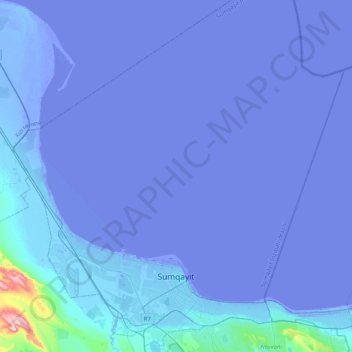
Name: Sumqayit topographic map, elevation, terrain.

Location: Sumqayit, Absheron-Khizi, Azerbaijan (40.53033 49.48226 40.86669 49.86356)

Average elevation: -43 ft

Minimum elevation: -98 ft

Maximum elevation: 1,161 ft

Gear up for your next adventure:

📌Outdoor GPS Map App - Apps and devices for digital topographic navigation
🔥Camping Stove - Portable stove for camping and backcountry cooking
⛑️Personal Locator Beacon - Safety beacon for emergencies
🔭Compact Binoculars - HD vision for scouting terrain and identifying distant landmarks
🥄Camping Utensil Set - Lightweight utensils for outdoor meals

As an Amazon Associate, this site earns from qualifying purchases at no extra cost to you.