Geolocate

El Avila topographic map

Click on the map to display elevation.

About this map

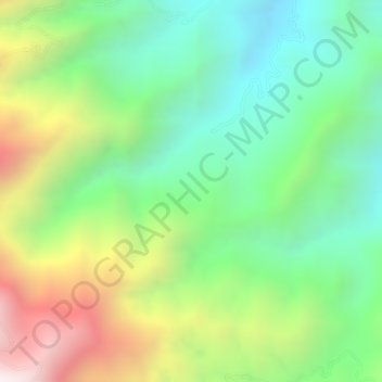
Name: El Avila topographic map, elevation, terrain.

Location: El Avila, Neiva, Norte, Huila, Colombia (3.05319 -75.51499 3.07319 -75.49499)

Average elevation: 5,387 ft

Minimum elevation: 4,222 ft

Maximum elevation: 7,165 ft

Gear up for your next adventure:

🎒Trekking Poles - Sturdy poles for balance and stability on rough terrain
🧭Pro Hiking Compasses - High-accuracy liquid-filled compasses for topographic orientation
Backpacking Tents - Weight-optimized shelters for multi-day topographic surveys
🪶Thermal Camp Blanket - Extra warmth for cold nights
🩳Quick‑Dry Hiking Shorts - Comfortable and quick‑dry shorts for summer hiking

As an Amazon Associate, this site earns from qualifying purchases at no extra cost to you.