
Hohnweiler topographic map
Click on the map to display elevation.
Hohnweiler
Hohnweiler wurde 1426 als Heinweiler erstmals erwähnt. Möglicherweise geht der Ortsname auf einen Personennamen zurück, eventuell auf den Namen Heino oder Heinrich. Er hat die Bedeutung Weiler des Hein und ist somit identisch wie der Name Hanweiler (Winnenden). Dafür spricht auch, dass Hohnweiler nicht auf einer Höhe liegt, sondern in einem Tal. Weitere Urkunden nennen den Ort Homwyler (1536) und Hanweyler (1685). Erst 1702 wurde der Ort Hohnweiler genannt.
About this map
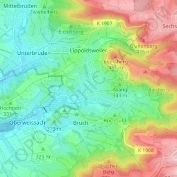
Name: Hohnweiler topographic map, elevation, terrain.
Average elevation: 1,171 ft
Minimum elevation: 879 ft
Maximum elevation: 1,709 ft