
Thank you for supporting this site ❤️
Make a donation
Make a donation
Gear up for your next adventure:
As an Amazon Associate, this site earns from qualifying purchases at no extra cost to you.
Erinjiyan topographic map
Click on the map to display elevation.
Thank you for supporting this site ❤️
Make a donation
Make a donation
Gear up for your next adventure:
As an Amazon Associate, this site earns from qualifying purchases at no extra cost to you.
About this map
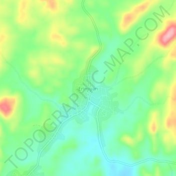
Name: Erinjiyan topographic map, elevation, terrain.
Location: Erinjiyan, Ekiti West, Ekiti State, Nigeria (7.59260 4.98640 7.63260 5.02640)
Average elevation: 1,552 ft
Minimum elevation: 1,381 ft
Maximum elevation: 1,857 ft
Thank you for supporting this site ❤️
Make a donation
Make a donation
Gear up for your next adventure:
As an Amazon Associate, this site earns from qualifying purchases at no extra cost to you.