
Keystone State Park topographic map
Click on the map to display elevation.
About this map
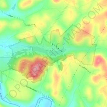
Name: Keystone State Park topographic map, elevation, terrain.
Average elevation: 1,155 ft
Minimum elevation: 951 ft
Maximum elevation: 1,417 ft
Westmoreland County trails, hiking, mountain biking, running and outdoor activities
Other topographic maps
Click on a map to view its topography, its elevation and its terrain.
Torrance
United States > Pennsylvania > Westmoreland County > Derry Township
Average elevation: 1,214 ft
Loyalhanna
United States > Pennsylvania > Westmoreland County > Derry Township
Average elevation: 1,086 ft