Geolocate

Ashmoun topographic map

Click on the map to display elevation.

About this map

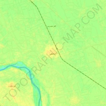
Name: Ashmoun topographic map, elevation, terrain.

Location: Ashmoun, Monufia Governorate, 32811, Egypt (30.25558 30.93608 30.33558 31.01608)

Average elevation: 46 ft

Minimum elevation: 3 ft

Maximum elevation: 72 ft

Other topographic maps

Click on a map to view its topography, its elevation and its terrain.

Sadat City

Egypt > Monufia Governorate

Average elevation: 138 ft

Gear up for your next adventure:

🧼Biodegradable Camping Soap - Eco‑friendly soap for outdoor hygiene
⛑️Personal Locator Beacon - Safety beacon for emergencies
📻Weather Alert Radios - Stay informed of storm risks while off-the-grid
🚑Emergency Bivvies - Heat-reflective sleeping bags for survival situations
🗃️Trail First Aid Kit - Essential kit for outdoor injuries and emergencies

As an Amazon Associate, this site earns from qualifying purchases at no extra cost to you.