
Pelham topographic map
Click on the map to display elevation.
About this map
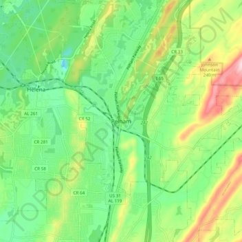
Name: Pelham topographic map, elevation, terrain.
Location: Pelham, Shelby County, Alabama, 35124, United States (33.24567 -86.84999 33.32567 -86.76999)
Average elevation: 538 ft
Minimum elevation: 243 ft
Maximum elevation: 1,089 ft
Shelby County trails, hiking, mountain biking, running and outdoor activities