Geolocate

Knuckles topographic map

Click on the map to display elevation.

About this map

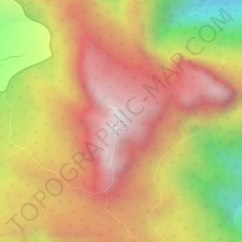
Name: Knuckles topographic map, elevation, terrain.

Location: Knuckles, Kandy District, Central Province, Sri Lanka (7.40020 80.81068 7.40030 80.81078)

Average elevation: 4,780 ft

Minimum elevation: 2,687 ft

Maximum elevation: 6,047 ft

Other topographic maps

Click on a map to view its topography, its elevation and its terrain.

Upper Kotmale Dam

Sri Lanka > Central Province > Talawakele > Holyrood

Average elevation: 4,098 ft

Matale District

Sri Lanka > Central Province

Average elevation: 886 ft

Nuwara Eliya District

Sri Lanka > Central Province

Average elevation: 3,586 ft

Pitawala Pathana

Sri Lanka > Central Province

Average elevation: 2,421 ft

Canyon Dam

Sri Lanka > Central Province > Hapugastenne

Average elevation: 3,615 ft

Sigiriya

Sri Lanka > Central Province

Average elevation: 666 ft

Gear up for your next adventure:

🧦Hiking Socks - Comfortable socks to prevent blisters on long hikes
🪶Survival Guide Book - Expert advice for emergency preparedness
🧢Sun Protection Hats - Wide-brimmed and UPF-rated hats for high-altitude sun safety
🧷Carabiner Set - Durable clips for gear attachment
🏔️Mountain Trail Maps - High‑detail maps for popular peaks

As an Amazon Associate, this site earns from qualifying purchases at no extra cost to you.