Geolocate

Blue Springs topographic map

Click on the map to display elevation.

About this map

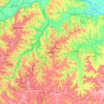
Name: Blue Springs topographic map, elevation, terrain.

Location: Blue Springs, Jackson County, Missouri, 64015, United States (38.85732 -94.44227 39.17732 -94.12227)

Average elevation: 886 ft

Minimum elevation: 682 ft

Maximum elevation: 1,086 ft

Jackson County trails, hiking, mountain biking, running and outdoor activities

Gear up for your next adventure:

🔌USB Car Charger - Car charger for on‑the‑go power needs
🔦Powerful Headlamps - Ultra-bright hands-free lighting for night navigation
🥾Women's Hiking Boots - Top-rated trail boots with ankle support and superior grip
🛏️Cold Weather Sleeping Bag - Warm sleeping bag for cold conditions
🛠️Backpacking Tool Kit - Essential toolkit for outdoor repairs

As an Amazon Associate, this site earns from qualifying purchases at no extra cost to you.