
Braunfels topographic map
Click on the map to display elevation.
About this map
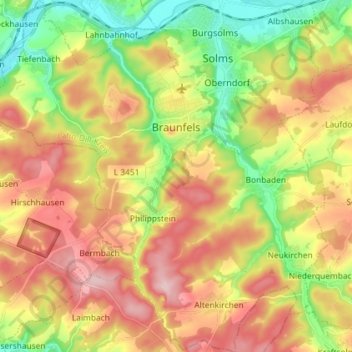
Name: Braunfels topographic map, elevation, terrain.
Location: Braunfels, Lahn-Dill-Kreis, Hesse, Germany (50.45627 8.31235 50.54840 8.45394)
Average elevation: 794 ft
Minimum elevation: 436 ft
Maximum elevation: 1,168 ft