Geolocate

Warnes topographic map

Click on the map to display elevation.

About this map
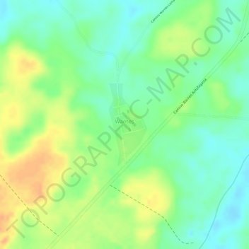
Name: Warnes topographic map, elevation, terrain.

Location: Warnes, Riberalta, Antonio Vaca Díez, Beni, Bolivia (-10.93272 -65.97190 -10.92371 -65.96765)

Average elevation: 469 ft

Minimum elevation: 410 ft

Maximum elevation: 531 ft

Gear up for your next adventure:

🪶Survival Guide Book - Expert advice for emergency preparedness
🧢Sun Protection Hats - Wide-brimmed and UPF-rated hats for high-altitude sun safety
🧦Merino Wool Socks - Moisture-wicking, blister-preventing socks for long treks
🎒Gear Packing Cubes - Organize your backpack efficiently
🧯Portable Fire Pit - Compact fire pit for camping spots

As an Amazon Associate, this site earns from qualifying purchases at no extra cost to you.