
Thank you for supporting this site ❤️
Make a donation
Make a donation
Gear up for your next adventure:
As an Amazon Associate, this site earns from qualifying purchases at no extra cost to you.
Carracedo topographic map
Click on the map to display elevation.
Thank you for supporting this site ❤️
Make a donation
Make a donation
Gear up for your next adventure:
As an Amazon Associate, this site earns from qualifying purchases at no extra cost to you.
About this map
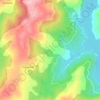
Name: Carracedo topographic map, elevation, terrain.
Location: Carracedo, A Veiga, Valdeorras, Orense, Galicia, España (42.24697 -7.07189 42.26596 -7.03526)
Average elevation: 3,041 ft
Minimum elevation: 2,733 ft
Maximum elevation: 3,415 ft
Thank you for supporting this site ❤️
Make a donation
Make a donation
Gear up for your next adventure:
As an Amazon Associate, this site earns from qualifying purchases at no extra cost to you.