Geolocate

Lewellen topographic map

Click on the map to display elevation.

About this map

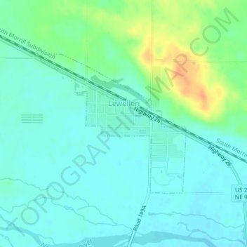
Name: Lewellen topographic map, elevation, terrain.

Location: Lewellen, Garden County, Nebraska, United States (41.32264 -102.15655 41.33789 -102.13541)

Average elevation: 3,323 ft

Minimum elevation: 3,287 ft

Maximum elevation: 3,419 ft

Garden County trails, hiking, mountain biking, running and outdoor activities

Gear up for your next adventure:

🔦Compact Flashlight - Reliable flashlight for emergencies
🦺Reflective Outdoor Gear - Safety gear for low‑light conditions
☀️Outdoor Sunscreen - High protection sunscreen for outdoor activities
🎒Hydration Pack - Hands‑free water reservoir for long hikes
🛶Inflatable Kayak - Portable kayak for rivers, lakes, and expeditions

As an Amazon Associate, this site earns from qualifying purchases at no extra cost to you.