Geolocate

Cotton topographic map

Click on the map to display elevation.

About this map

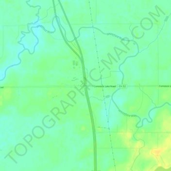
Name: Cotton topographic map, elevation, terrain.

Location: Cotton, Saint Louis County, Minnesota, 55724, United States (47.14938 -92.49630 47.18938 -92.45630)

Average elevation: 1,329 ft

Minimum elevation: 1,299 ft

Maximum elevation: 1,371 ft

Saint Louis County trails, hiking, mountain biking, running and outdoor activities

Gear up for your next adventure:

🔦LED Headlamp - Bright and durable LED headlamp for night navigation
🛶Inflatable Kayak - Portable kayak for rivers, lakes, and expeditions
🔭Compact Binoculars - HD vision for scouting terrain and identifying distant landmarks
🌲Outdoor Survival Books - Best books on survival skills
📚Navigation Handbooks - Master the art of reading topographic maps and using a compass

As an Amazon Associate, this site earns from qualifying purchases at no extra cost to you.