
Thank you for supporting this site ❤️
Make a donation
Make a donation
Gear up for your next adventure:
As an Amazon Associate, this site earns from qualifying purchases at no extra cost to you.
banegaon topographic map
Click on the map to display elevation.
Thank you for supporting this site ❤️
Make a donation
Make a donation
Gear up for your next adventure:
As an Amazon Associate, this site earns from qualifying purchases at no extra cost to you.
About this map
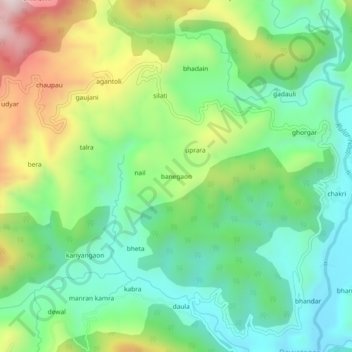
Name: banegaon topographic map, elevation, terrain.
Location: banegaon, Kanda, Bageshwar, Uttarakhand, 263631, India (29.77952 79.94060 29.81952 79.98060)
Average elevation: 4,449 ft
Minimum elevation: 3,770 ft
Maximum elevation: 5,768 ft
Thank you for supporting this site ❤️
Make a donation
Make a donation
Gear up for your next adventure:
As an Amazon Associate, this site earns from qualifying purchases at no extra cost to you.