Geolocate

China Ranch topographic map

Click on the map to display elevation.

About this map

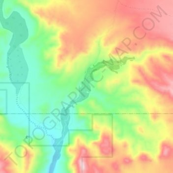
Name: China Ranch topographic map, elevation, terrain.

Location: China Ranch, Inyo County, California, United States (35.77969 -116.21358 35.81969 -116.17358)

Average elevation: 1,463 ft

Minimum elevation: 1,017 ft

Maximum elevation: 1,946 ft

Inyo County trails, hiking, mountain biking, running and outdoor activities

Gear up for your next adventure:

🗻Climbing Gear Basics - Essential gear for beginner climbers
🛏️Cold Weather Sleeping Bag - Warm sleeping bag for cold conditions
🌡️Portable Weather Meter - Track weather conditions on the trail
📡GPS Antenna Upgrade - Enhance GPS reception in remote terrain
🧢Sun Protection Hats - Wide-brimmed and UPF-rated hats for high-altitude sun safety

As an Amazon Associate, this site earns from qualifying purchases at no extra cost to you.