
Thank you for supporting this site ❤️
Make a donation
Make a donation
Gear up for your next adventure:
As an Amazon Associate, this site earns from qualifying purchases at no extra cost to you.
Pedriza topographic map
Click on the map to display elevation.
Thank you for supporting this site ❤️
Make a donation
Make a donation
Gear up for your next adventure:
As an Amazon Associate, this site earns from qualifying purchases at no extra cost to you.
About this map
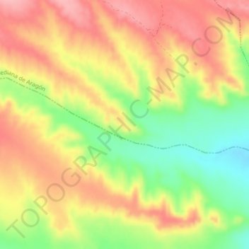
Name: Pedriza topographic map, elevation, terrain.
Location: Pedriza, Mediana de Aragón, Zaragoza, Aragón, España (41.38792 -0.70428 41.40792 -0.68428)
Average elevation: 1,207 ft
Minimum elevation: 971 ft
Maximum elevation: 1,391 ft
Thank you for supporting this site ❤️
Make a donation
Make a donation
Gear up for your next adventure:
As an Amazon Associate, this site earns from qualifying purchases at no extra cost to you.