
suila topographic map
Click on the map to display elevation.
About this map
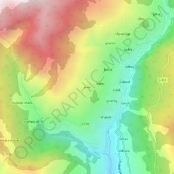
Name: suila topographic map, elevation, terrain.
Location: suila, Chaurah, Chamba, Himachal Pradesh, India (32.90388 76.12197 32.94388 76.16197)
Average elevation: 7,785 ft
Minimum elevation: 5,220 ft
Maximum elevation: 11,050 ft