
Make a donation
Gear up for your next adventure:
As an Amazon Associate, this site earns from qualifying purchases at no extra cost to you.
Baidoa topographic map
Click on the map to display elevation.
Make a donation
Gear up for your next adventure:
As an Amazon Associate, this site earns from qualifying purchases at no extra cost to you.
Baidoa
Air transportation in Baidoa is served by the Baidoa Airport. Sitting at an elevation of 1,520 feet (463 m), it has a 9843 × 131 ft (3000 × 40 m) asphalt runway. The airport has fuel services, a terminal building, storage container, on-site warehouse, and radio towers.
Make a donation
Gear up for your next adventure:
As an Amazon Associate, this site earns from qualifying purchases at no extra cost to you.
About this map
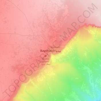
Name: Baidoa topographic map, elevation, terrain.
Location: Baidoa, Baidoa District, Bay, South West, Somalia (2.95995 43.48446 3.27995 43.80446)
Average elevation: 1,427 ft
Minimum elevation: 906 ft
Maximum elevation: 1,762 ft
Make a donation
Gear up for your next adventure:
As an Amazon Associate, this site earns from qualifying purchases at no extra cost to you.