
Thank you for supporting this site ❤️
Make a donation
Make a donation
Gear up for your next adventure:
As an Amazon Associate, this site earns from qualifying purchases at no extra cost to you.
Mara topographic map
Click on the map to display elevation.
Thank you for supporting this site ❤️
Make a donation
Make a donation
Gear up for your next adventure:
As an Amazon Associate, this site earns from qualifying purchases at no extra cost to you.
About this map
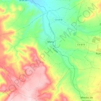
Name: Mara topographic map, elevation, terrain.
Location: Mara, Comunidad de Calatayud, Zaragoza, Aragon, Spain (41.25762 -1.56165 41.31081 -1.48776)
Average elevation: 2,536 ft
Minimum elevation: 2,116 ft
Maximum elevation: 3,054 ft
Thank you for supporting this site ❤️
Make a donation
Make a donation
Gear up for your next adventure:
As an Amazon Associate, this site earns from qualifying purchases at no extra cost to you.