
Make a donation
Gear up for your next adventure:
As an Amazon Associate, this site earns from qualifying purchases at no extra cost to you.
Quinwood topographic map
Click on the map to display elevation.
Make a donation
Gear up for your next adventure:
As an Amazon Associate, this site earns from qualifying purchases at no extra cost to you.
Quinwood
With the elevation and location on a western facing slope, Quinwood can easily see significant amounts of snowfall when winds from the northwest carry moisture from the great lakes and ride up the mountains. This event is called orographic lift. Snowfall amounts over one foot are very common during these events. In 2012, Hurricane Sandy left 29 inches (74 cm) of snow in Quinwood.
Make a donation
Gear up for your next adventure:
As an Amazon Associate, this site earns from qualifying purchases at no extra cost to you.
About this map
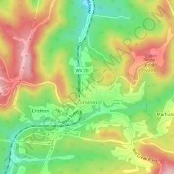
Name: Quinwood topographic map, elevation, terrain.
Average elevation: 3,081 ft
Minimum elevation: 2,713 ft
Maximum elevation: 3,474 ft
Greenbrier County trails, hiking, mountain biking, running and outdoor activities
Make a donation
Gear up for your next adventure:
As an Amazon Associate, this site earns from qualifying purchases at no extra cost to you.