
Make a donation
Gear up for your next adventure:
As an Amazon Associate, this site earns from qualifying purchases at no extra cost to you.
Monte Lesima topographic map
Click on the map to display elevation.
Make a donation
Gear up for your next adventure:
As an Amazon Associate, this site earns from qualifying purchases at no extra cost to you.
Monte Lesima
Il Monte Lesima ha un isolamento topografico di 22,93 km (distanza rispetto alla pari altitudine presso il Monte Maggiorasca o meglio il Monte Bue) e una prominenza di 850 metri (dislivello rispetto a una sella presso Torriglia e il Passo della Scoffera che divide i bacini del Trebbia e dello Scrivia).
Make a donation
Gear up for your next adventure:
As an Amazon Associate, this site earns from qualifying purchases at no extra cost to you.
About this map
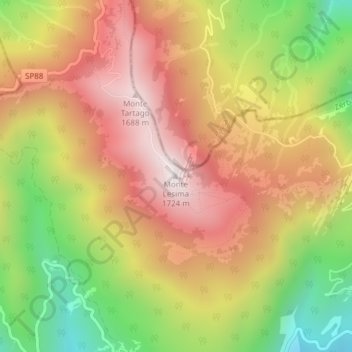
Name: Monte Lesima topographic map, elevation, terrain.
Location: Monte Lesima, Zerba, Piacenza, Emilia-Romagna, Italia (44.67962 9.25955 44.67972 9.25965)
Average elevation: 4,222 ft
Minimum elevation: 2,575 ft
Maximum elevation: 5,584 ft
Make a donation
Gear up for your next adventure:
As an Amazon Associate, this site earns from qualifying purchases at no extra cost to you.