
Make a donation
Gear up for your next adventure:
As an Amazon Associate, this site earns from qualifying purchases at no extra cost to you.
Morava topographic map
Click on the map to display elevation.
Make a donation
Gear up for your next adventure:
As an Amazon Associate, this site earns from qualifying purchases at no extra cost to you.
Morava
The Morava originates in the territory of Dolní Morava in the Králický Sněžník Mountains, on the slope of the Králický Sněžník mountain at an elevation of 1,371 m (4,498 ft), not far from the border with Poland. The lowlands formed by the river are the Upper Morava Valley and then the Lower Morava Valley in Moravia, the Morava Field or Marchfeld in Lower Austria, and the Záhorie Lowland in Slovakia. The latter three are actually continuous parts of one large basin, forming a major part of the Vienna Basin.
Make a donation
Gear up for your next adventure:
As an Amazon Associate, this site earns from qualifying purchases at no extra cost to you.
About this map
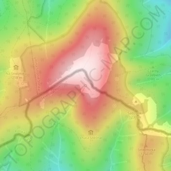
Name: Morava topographic map, elevation, terrain.
Average elevation: 3,845 ft
Minimum elevation: 2,949 ft
Maximum elevation: 4,672 ft
Make a donation
Gear up for your next adventure:
As an Amazon Associate, this site earns from qualifying purchases at no extra cost to you.