
Thank you for supporting this site ❤️
Make a donation
Make a donation
Gear up for your next adventure:
As an Amazon Associate, this site earns from qualifying purchases at no extra cost to you.
Bayramtepe topographic map
Click on the map to display elevation.
Thank you for supporting this site ❤️
Make a donation
Make a donation
Gear up for your next adventure:
As an Amazon Associate, this site earns from qualifying purchases at no extra cost to you.
About this map
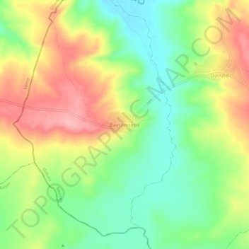
Name: Bayramtepe topographic map, elevation, terrain.
Location: Bayramtepe, Malkara, Tekirdağ, Marmara Region, Turkey (41.02787 26.69712 41.06787 26.73712)
Average elevation: 361 ft
Minimum elevation: 177 ft
Maximum elevation: 584 ft
Thank you for supporting this site ❤️
Make a donation
Make a donation
Gear up for your next adventure:
As an Amazon Associate, this site earns from qualifying purchases at no extra cost to you.