Geolocate

Logan topographic map

Click on the map to display elevation.

About this map

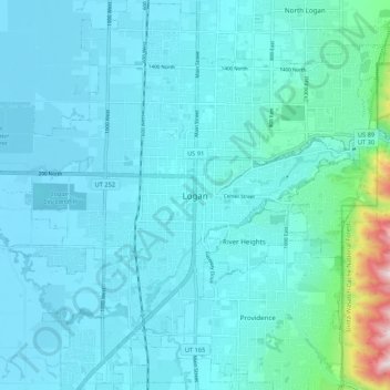
Name: Logan topographic map, elevation, terrain.

Location: Logan, Cache County, Utah, 84321, United States (41.69134 -111.87486 41.77134 -111.79486)

Average elevation: 4,656 ft

Minimum elevation: 4,419 ft

Maximum elevation: 6,667 ft

Cache County trails, hiking, mountain biking, running and outdoor activities

Gear up for your next adventure:

Camping Coffee Makers - Enjoy premium coffee at the summit or campsite
🚗GPS Dash Cams - Record your scenic drives through mountain passes and canyons
🔥Plasma Lighters - Windproof lighters that work in any weather condition
🔪Outdoor Multitools - Essential survival tools for gear repair and field use
🌄Hiking Binoculars - Compact binoculars for scenic views and trail spotting

As an Amazon Associate, this site earns from qualifying purchases at no extra cost to you.