Geolocate

Willard topographic map

Click on the map to display elevation.

About this map

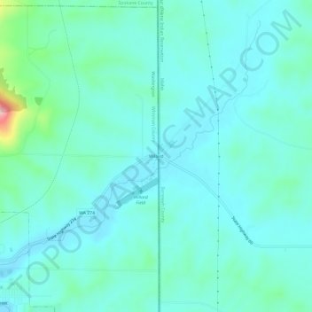
Name: Willard topographic map, elevation, terrain.

Location: Willard, Whitman County, Washington, United States (47.22018 -117.06029 47.26018 -117.02029)

Average elevation: 2,585 ft

Minimum elevation: 2,487 ft

Maximum elevation: 3,110 ft

Whitman County trails, hiking, mountain biking, running and outdoor activities

Gear up for your next adventure:

📡Handheld GPS Device - Reliable handheld GPS for outdoor navigation
🚪Portable Camp Chair - Foldable chair for comfort at camp
🦶Carbon Trekking Poles - Reduce knee impact on steep descents with ultra-light poles
👟Trail Running Shoes - Lightweight shoes for trail runners
🏫Relief Map Kits - Hands-on tools for teaching landforms and elevation

As an Amazon Associate, this site earns from qualifying purchases at no extra cost to you.