Geolocate

Ancol topographic map

Click on the map to display elevation.

About this map

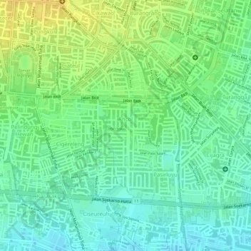
Name: Ancol topographic map, elevation, terrain.

Location: Ancol, Regol, Bandung, West Java, Java, Indonesia (-6.94899 107.61302 -6.93250 107.61931)

Average elevation: 2,257 ft

Minimum elevation: 2,215 ft

Maximum elevation: 2,310 ft

Other topographic maps

Click on a map to view its topography, its elevation and its terrain.

Sungai penuh sampah

Indonesia > West Java > Bandung > Situ Saeur

Average elevation: 2,257 ft

Gear up for your next adventure:

🪵Folding Camp Saw - Compact saw for wood and campsite work
🌎3D Topographic Globes - Raised relief globes for a tactile understanding of geography
🔋Solar Power Banks - Keep your GPS and phone charged in remote wilderness areas
📡Handheld GPS Device - Reliable handheld GPS for outdoor navigation
🚪Portable Camp Chair - Foldable chair for comfort at camp

As an Amazon Associate, this site earns from qualifying purchases at no extra cost to you.