
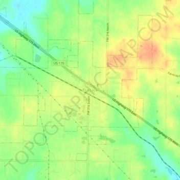
Eustace topographic map
Interactive map
Click on the map to display elevation.
About this map
Name: Eustace topographic map, elevation, terrain.
Location: Eustace, Texas, 75124, United States (32.28709 -96.02664 32.32709 -95.98664)
Average elevation: 417 ft
Minimum elevation: 344 ft
Maximum elevation: 479 ft