Geolocate

Maple Lake topographic map

Click on the map to display elevation.

About this map

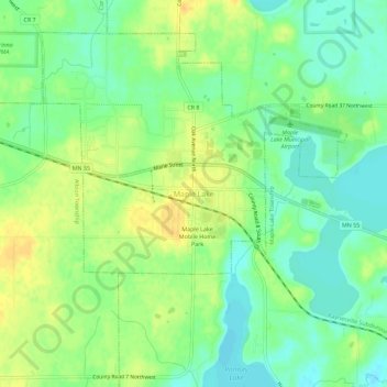
Name: Maple Lake topographic map, elevation, terrain.

Location: Maple Lake, Wright County, Minnesota, 55358, United States (45.20913 -94.02192 45.24913 -93.98192)

Average elevation: 1,030 ft

Minimum elevation: 984 ft

Maximum elevation: 1,079 ft

Wright County trails, hiking, mountain biking, running and outdoor activities

Gear up for your next adventure:

👟Men's Trail Runners - Lightweight footwear for fast-paced exploration and light hiking
🦺Reflective Outdoor Gear - Safety gear for low‑light conditions
🗺️Topographic Maps - Detailed topo maps for hiking, exploring and outdoor navigation
🔦Compact Flashlight - Reliable flashlight for emergencies
🪓Survival Multi‑Tool - Versatile tool for camp and trail tasks

As an Amazon Associate, this site earns from qualifying purchases at no extra cost to you.