Geolocate

McIntosh topographic map

Click on the map to display elevation.

About this map

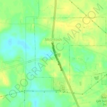
Name: McIntosh topographic map, elevation, terrain.

Location: McIntosh, Washington County, Alabama, United States (31.25350 -88.03718 31.27200 -88.01589)

Average elevation: 43 ft

Minimum elevation: 3 ft

Maximum elevation: 69 ft

Washington County trails, hiking, mountain biking, running and outdoor activities

Gear up for your next adventure:

🪶Trail Camera - Capture wildlife on your hikes
👓Polarized Sunglasses - Outdoor sunglasses for glare reduction
GPS Sports Watch - GPS watch for running, hiking and training
🥇GPS Hiking Watch - Multi‑sport GPS watch with navigation and trail tracking
🎒Outdoor Daypacks - Lightweight backpacks designed for carrying maps and essential gear

As an Amazon Associate, this site earns from qualifying purchases at no extra cost to you.