Geolocate

Sector 71 topographic map

Click on the map to display elevation.

About this map

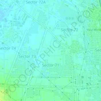
Name: Sector 71 topographic map, elevation, terrain.

Location: Sector 71, Gurgaon, Haryana, India (28.40055 77.01604 28.42007 77.03088)

Average elevation: 738 ft

Minimum elevation: 725 ft

Maximum elevation: 774 ft

Other topographic maps

Click on a map to view its topography, its elevation and its terrain.

Badshahpur

India > Haryana > Gurgaon

Average elevation: 748 ft

Damdama Lake

India > Haryana > Gurgaon

Average elevation: 794 ft

Gear up for your next adventure:

🪶Wildlife Field Guides - Learn animal tracking and species ID
🛏️Cold Weather Sleeping Bag - Warm sleeping bag for cold conditions
🔭Stargazing Telescopes - Perfect for camping in low-light pollution areas shown on maps
🧦Merino Wool Socks - Moisture-wicking, blister-preventing socks for long treks
🧭Compass with Lanyard - Easy‑carry compass for navigation

As an Amazon Associate, this site earns from qualifying purchases at no extra cost to you.