
Chapleau topographic map
Interactive map
Click on the map to display elevation.
About this map
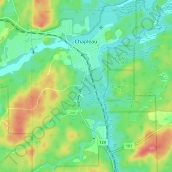
Name: Chapleau topographic map, elevation, terrain.
Location: Chapleau, Sudbury District, Ontario, P0M 1K0, Canada (47.80735 -83.42669 47.85771 -83.37906)
Average elevation: 1,453 ft
Minimum elevation: 1,371 ft
Maximum elevation: 1,611 ft