
Middle Cascades topographic map
Click on the map to display elevation.
About this map
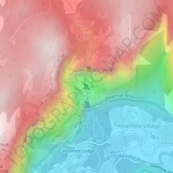
Name: Middle Cascades topographic map, elevation, terrain.
Average elevation: 5,850 ft
Minimum elevation: 3,947 ft
Maximum elevation: 7,628 ft
Other topographic maps
Click on a map to view its topography, its elevation and its terrain.
Yosemite Valley
United States > California > Mariposa County > Yosemite Village
Average elevation: 6,614 ft
Yosemite Valley
United States > California > Mariposa County > Yosemite Village
Average elevation: 6,614 ft
Yosemite Valley
United States > California > Mariposa County > Yosemite Village
Average elevation: 6,601 ft